Roads & Civil Engineering
Corridor surveys, terrain models, profiles, cross-sections, setting-out support, and construction progress mapping.

Your trusted partner in GIS, Drone Mapping & Survey Solutions across Uganda and East Africa. Sub-centimeter RTK GNSS accuracy, 3D LiDAR, and interactive spatial database management.
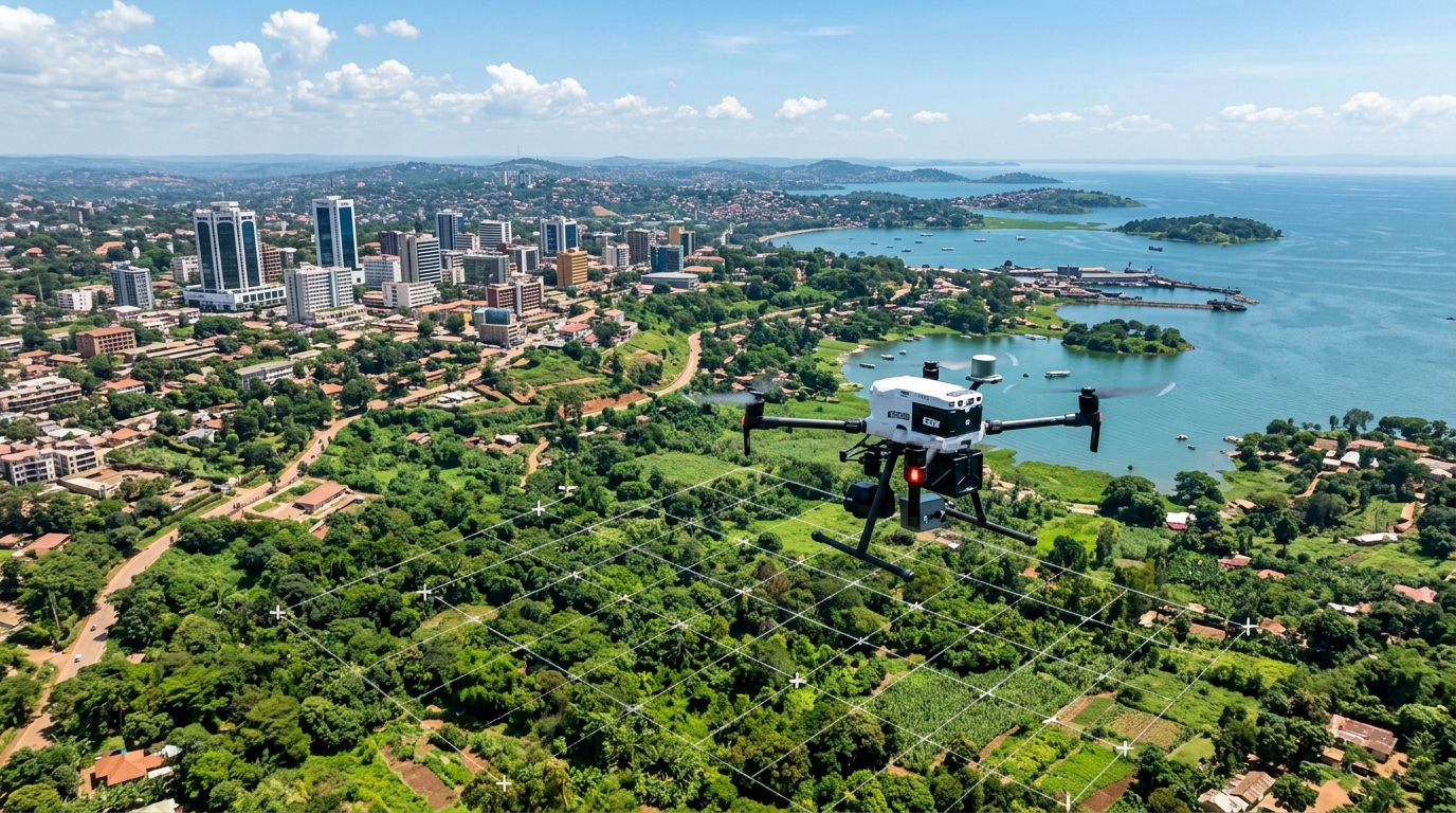
Argeo Datum combines land surveying, drone capture, and spatial data engineering in one delivery team. The result is survey data that is easier to verify, share, and use—from a field boundary to a regional planning dashboard.
Our workflow is designed around Ugandan terrain, coordinate systems, and project realities, with clear outputs for technical teams and decision-makers.
A connected spatial workflow from ground control to decision-ready data.
From aerial UAV photogrammetry in Kampala to agricultural mapping in Fort Portal, we deliver spatial intelligence with sub-centimeter accuracy.
High-resolution orthomosaic imagery, 3D point cloud generation, quarry volumetric calculations, and digital surface models (DSM/DEM).
Custom Web GIS database design, cloud geospatial server management, spatial analysis, and interactive municipal dashboards.
High-precision RTK GNSS boundary surveys, parcel demarcation, subdivision blueprints, and Ministry of Lands documentation support.
Choose the sector closest to your project. Argeo Datum adapts field capture, analysis, and deliverables to the decisions your team needs to make.
Corridor surveys, terrain models, profiles, cross-sections, setting-out support, and construction progress mapping.
Boundary recovery, parcel mapping, subdivisions, topographic surveys, and GIS-ready land records.
Crop-health mapping, drainage and terrain analysis, acreage verification, canopy assessment, and farm asset mapping.
Stockpile volumes, pit and bench mapping, cut-and-fill analysis, site models, and repeatable progress surveys.
Asset inventories, route surveys, network mapping, right-of-way documentation, and field-to-dashboard workflows.
Municipal GIS, settlement mapping, environmental monitoring, planning datasets, and decision-ready dashboards.
We define the site, required accuracy, coordinate system, outputs, schedule, and field constraints.
Our team collects ground, drone, GNSS, and field GIS observations using a documented survey plan.
We process the data, check control and completeness, and prepare the required analysis and visual outputs.
You receive organized, decision-ready files with a clear handover and support for interpretation or updates.
Explore a working Kampala survey dataset. Toggle layers, inspect parcels, find your position, or measure a distance directly on the map.
Select your survey specifications below for a real-time transparent estimate of budget and delivery timelines across Uganda.
Flexible practical sessions for individuals and teams, delivered in Kampala or arranged on-site. Contact us for the current calendar and tailored group options.
Build confidence in control setup, base-rover configuration, coordinate systems, feature coding, stakeout, and quality checks.
Learn mission planning, ground control, safe data capture, orthomosaic production, terrain models, contours, and volume calculations.
Create clean spatial datasets, perform practical analysis, design field forms, publish maps, and communicate results through dashboards.
We can shape an on-site program around your equipment, staff roles, datasets, and active projects.
These representative scopes show how we structure infrastructure, agricultural, and cadastral assignments. Final methods and outputs are tailored to each brief.
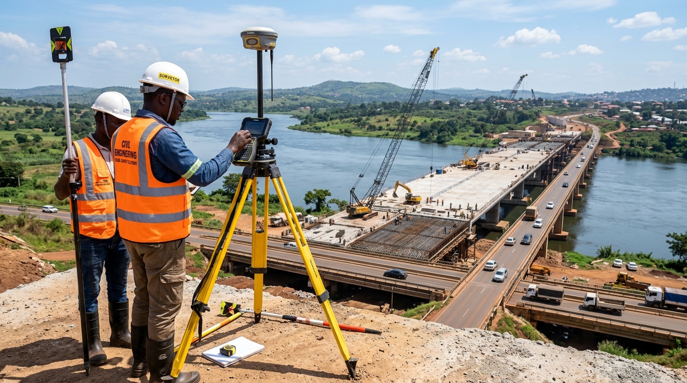 Illustrative infrastructure scope
18 km highway corridor mapping with sub-centimeter contour lines and bridge abutment cross-sections for civil engineering design.
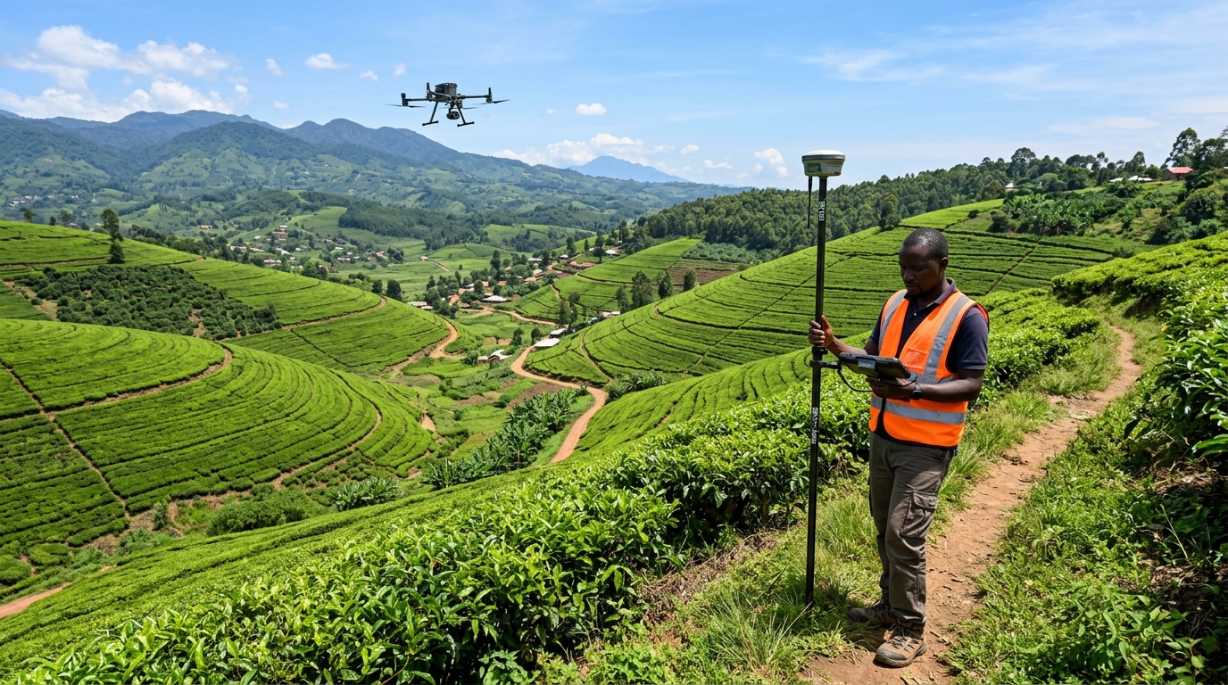 Illustrative agriculture scope
650 Hectare tea and coffee estate multispectral drone survey for irrigation planning, crop health canopy assessment, and elevation modeling.
Illustrative cadastral scope
High-precision RTK GNSS boundary survey for 240 residential and commercial plots with legal boundary documentation for land title registry.
Have a question or custom survey request? Contact our team for expert advice.
Reach out to discuss survey requirements, schedule field operations, or consult on spatial database setups.